In Oakville, excavation work south of the QEW almost always hits shale at shallow depth. That changes the monitoring plan. We see a lot of projects where the design assumes soil, but the reality is Queenston Shale within 3 meters. Our lab team sets up inclinometers and survey pins expecting that transition. When the shale is high, we tighten the lateral movement thresholds. The Lake Ontario shoreline also means groundwater responds fast to rain. We combine real-time piezometer readings with physical test pits for visual confirmation of the stratigraphy. For sites near Sixteen Mile Creek we often add slope stability instrumentation to track any creep toward the valley walls during excavation.
In Oakville, you're usually monitoring shale response, not soft clay deformation. That changes everything about trigger levels and instrumentation layout.
Methodology and scope
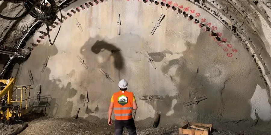
Local considerations
Oakville sits at about 175 m elevation near the Niagara Escarpment. Many excavations happen on sloping lots where cut depth varies dramatically across the site. One side might be 2 meters deep, the other 7 meters. That asymmetry creates differential stress in the shoring system. We track it with paired inclinometers and load cells on tiebacks. A bigger risk is the contact between overburden and shale acting as a groundwater pathway. We have seen sudden inflows after heavy rain when that interface is exposed. Our piezometer network is spaced to catch pressure changes at that exact horizon. The team also watches for vibration-induced settlement in the historic Lakeshore Road corridor, where brick construction tolerates very little movement before cracking appears.
Applicable standards
NBCC 2015 Part 4, CSA A23.3-14, ASTM D6230-13 (inclinometer), DIN 4150-3:1999-02, OPSS.MUNI 206
Associated technical services
Deep excavation instrumentation
Inclinometer arrays, multilevel piezometers, and automated total station networks for shored cuts up to 15 meters depth. Daily data delivery with threshold alerts.
Heritage and vibration monitoring
Triaxial geophone arrays and settlement pins for structures within the zone of influence. DIN 4150-3 compliant reporting for Oakville's historic district.
Typical parameters
Frequently asked questions
What instrumentation is typical for an Oakville excavation near the lake?
Most plans include inclinometer casings behind the shoring wall, vibrating wire piezometers at the overburden-shale contact, and surface settlement points on adjacent roadways. For sites within 500 meters of Lake Ontario we add a dedicated groundwater monitoring well to track seasonal fluctuations.
How much does excavation monitoring cost in Oakville?
Instrumentation and monitoring for a typical residential or mid-rise excavation in Oakville ranges from CA$980 to CA$2,970 depending on the number of inclinometers, piezometers, and the monitoring duration. A full commercial deep excavation with automated total stations and weekly reporting will be at the upper end.
How often do you read the instruments during construction?
During active excavation we read inclinometers and piezometers daily. After reaching final grade we shift to weekly readings unless the data shows a trend approaching the trigger threshold. The system sends automatic alerts if movement exceeds 75 percent of the design limit.
Can you monitor vibration on heritage buildings in Old Oakville?
Yes. We use triaxial geophones mounted on foundation walls and set trigger levels per DIN 4150-3. This is standard for any excavation within the zone of influence of designated heritage properties along Lakeshore Road or Navy Street.